
Photography by Peter Signorini
For many years there has been an informal tradition of doing a longer tour of two or three weeks over the period after Christmas and spanning the new year. The timing is convenient for many people, as it is covered by school holidays and many other people have time off work, so most people are able to go on a longer tour. The only drawback is the hot weather in much of Victoria at that time of year (and interstate tours to New South Wales or South Australia will not evade the summer heat either).
So, for this particular year, Peter Sig decided to try to escape the summer heat by going to Tasmania. As you will see, this strategy proved to be stunningly effective.
There is also some debate as to precisely which year this particular tour took place. I will admit, the EXIF data in all the photographs does say December 2007/January 2008, but I was sceptical of that because it isn’t how I remembered things. My recollection was that we did this trip in December 2008, after I did the GVBR, which I only did one year (with school, after I’d finished year 11). There is a link there too, because I caught a cold on the GVBR which progressively went through my parents and sister over Christmas and when we went to Tasmania.
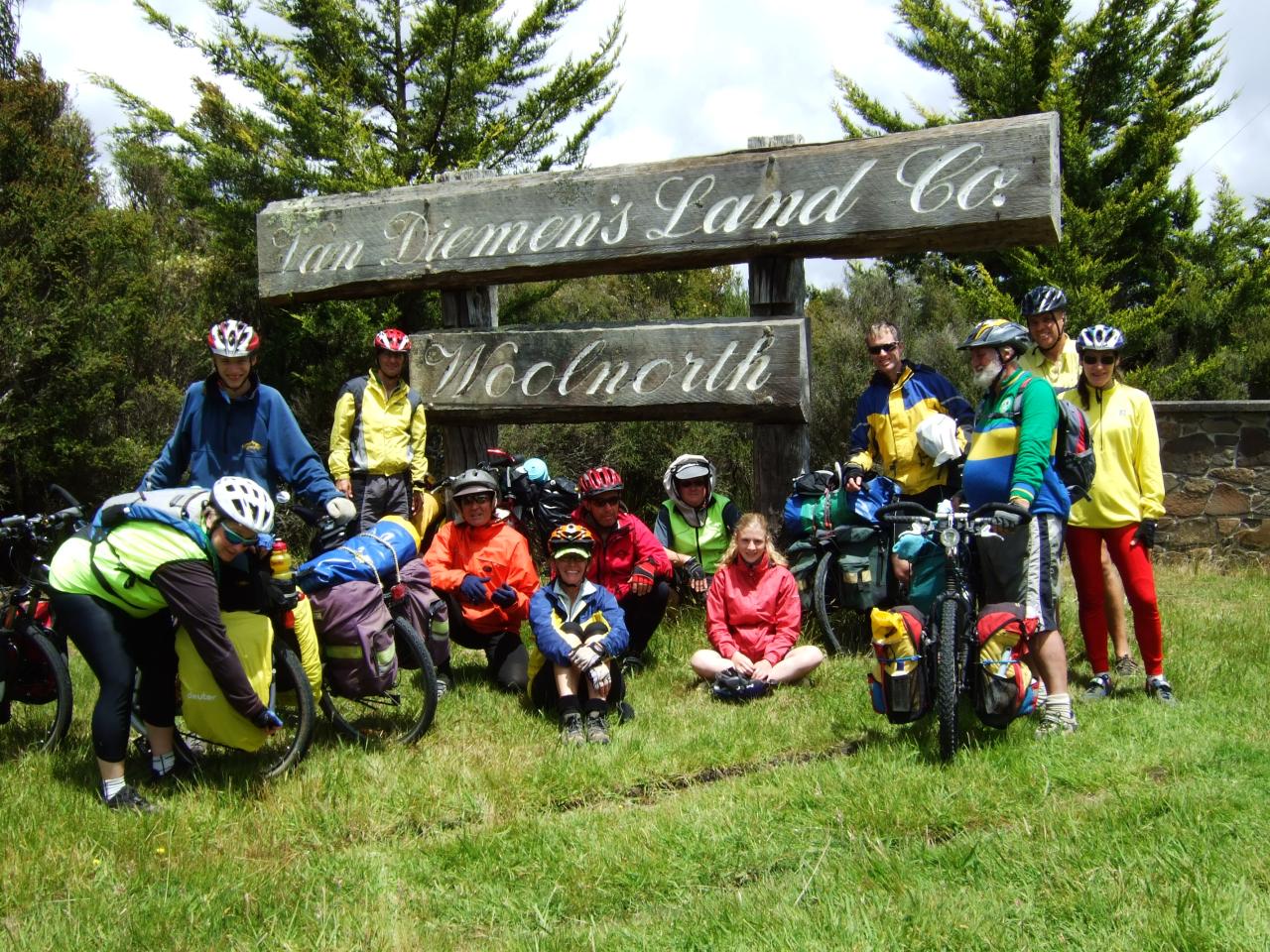
Anyway, I went through the photos looking for any landmarks as to what date they were taken, which might prove that the EXIF data was merely incorrectly configured in the camera. And so I present Exhibit A:
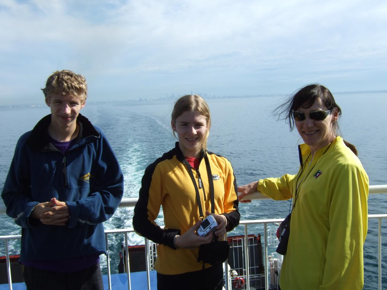
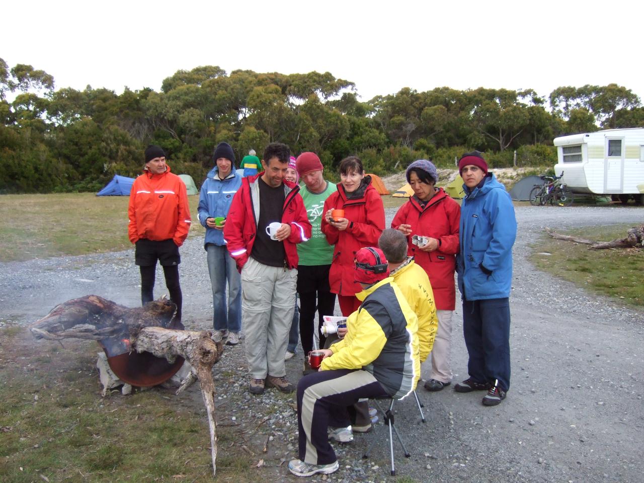
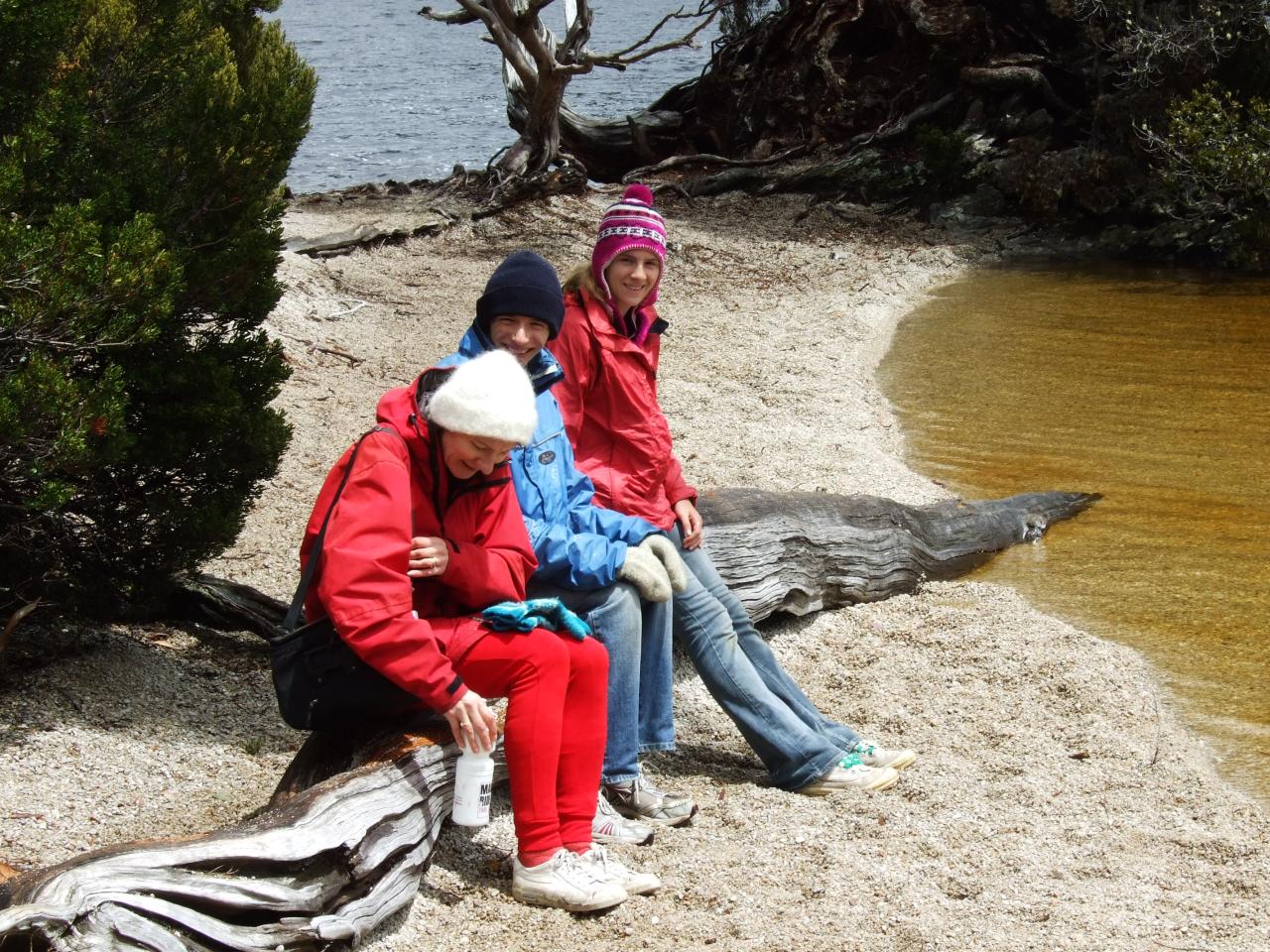
Glenn, Anna, Margaret and me.
See that shirt I’m wearing? I’ve still got that shirt as a matter of fact; isn’t that value for money. It was actually a set given to our school group for the GVBR by a local business, surplus from an MS charity bike ride they ran. And it says “Melbourne Summer Cycle 2008”. QED, these photos must have been taken in December 2008.
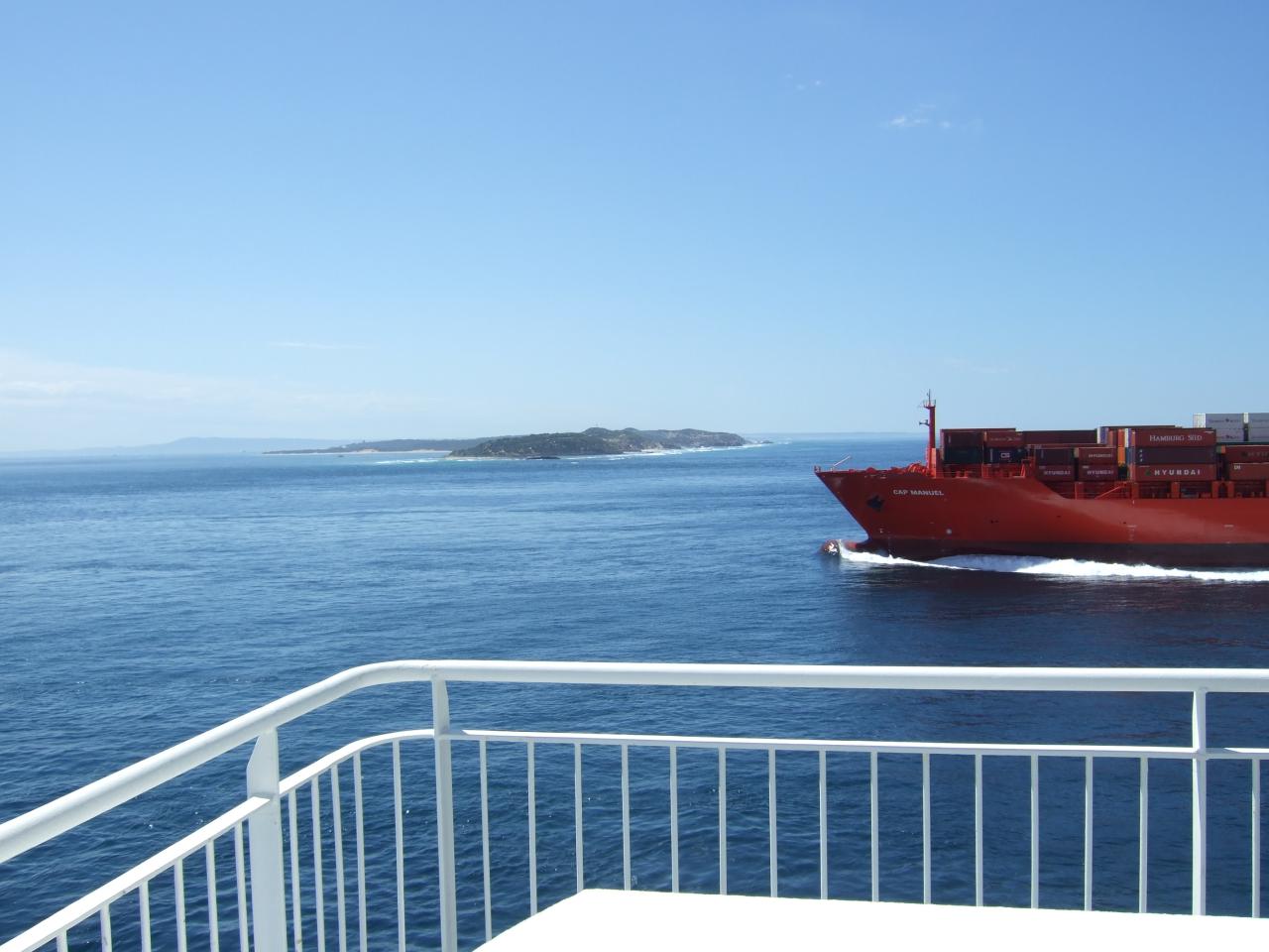
To get to Tasmania, we all got on the ship from Melbourne to Devonport, on December 27 (day after boxing day). We had all booked our tickets separately, but after we boarded we kind of met up and sat together. Soon after (as I recall, just after we set sail) someone said “hey, where’s Dave?”
Well, as we soon found out thanks to mobile phones, Dave Cash had made the mistake of arriving for the ship with about half an hour to spare, as you would when catching a train. Unfortunately, as he discovered, boarding for the ship closes 45 minutes before it sails, and when he arrived at Station Pier the staff weren’t able to let him on the ship. He was lucky though, because the office people were able to book him onto the overnight ship, and so he was able to meet us in Devonport the next morning (as we camped there after getting off the ship).
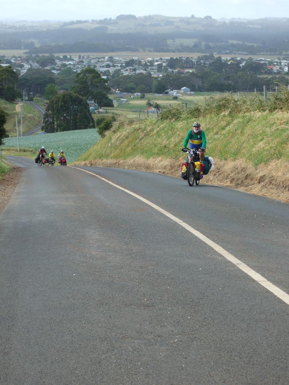
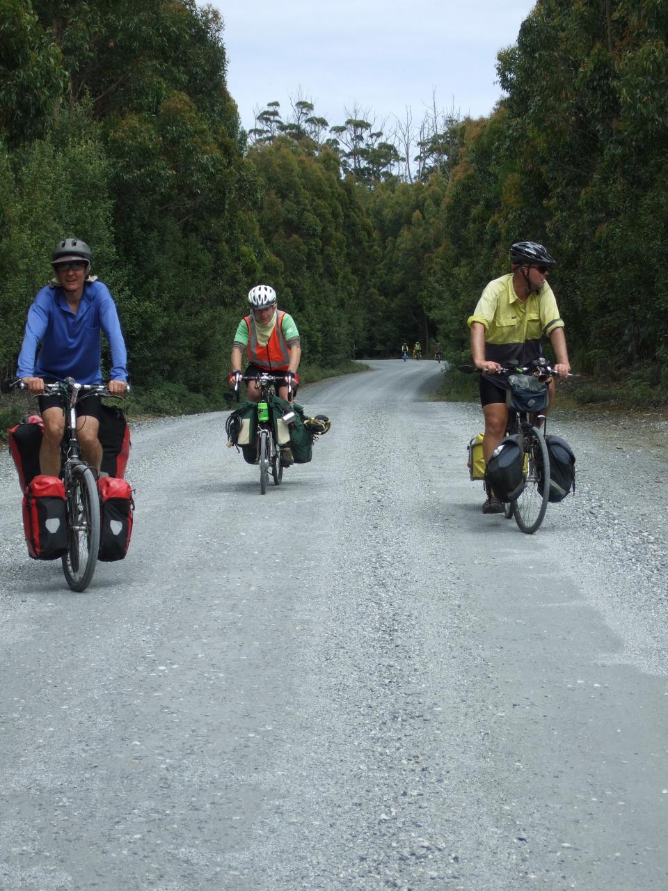
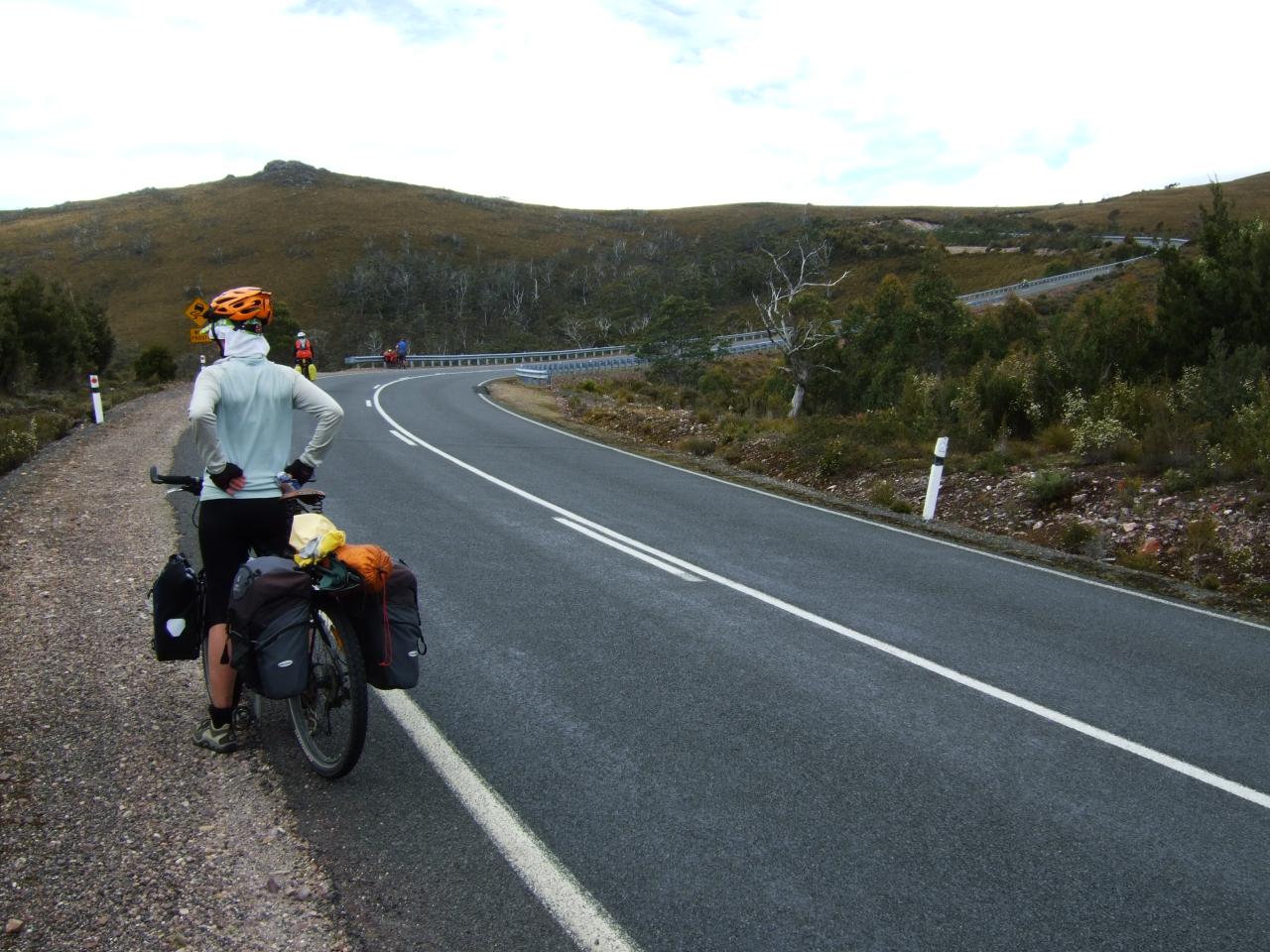
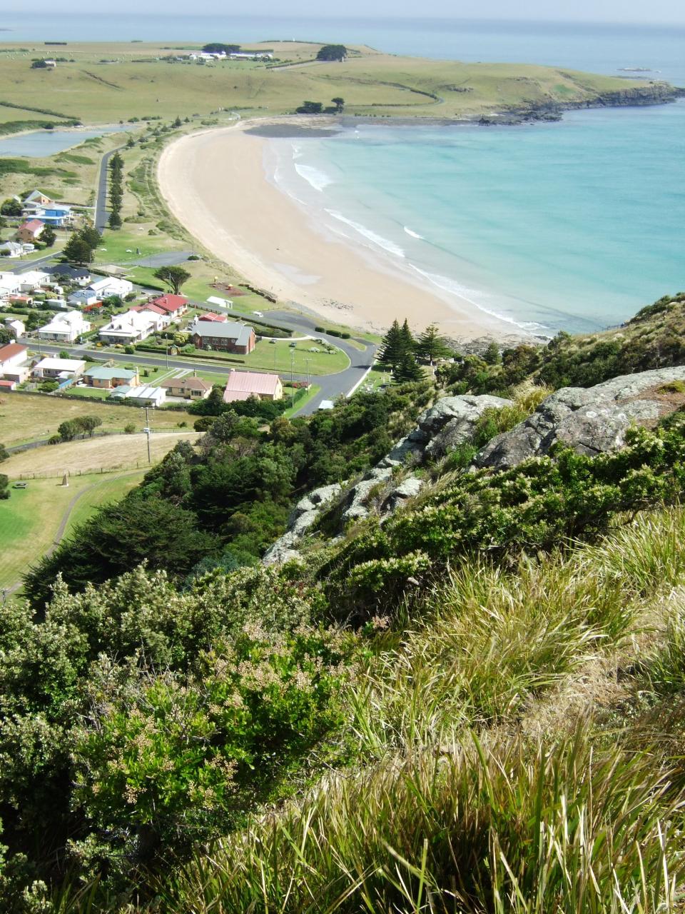
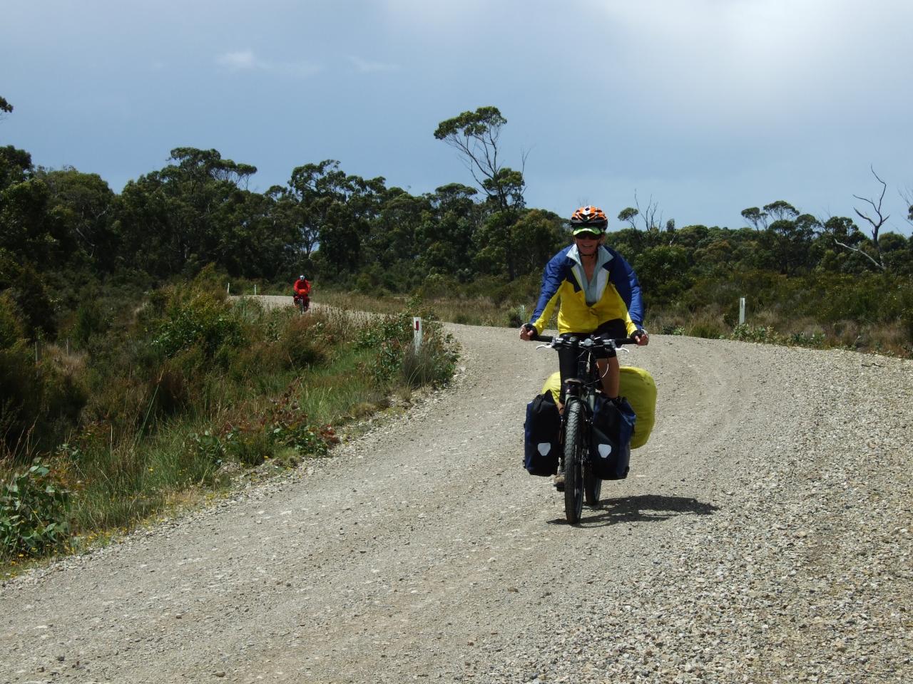
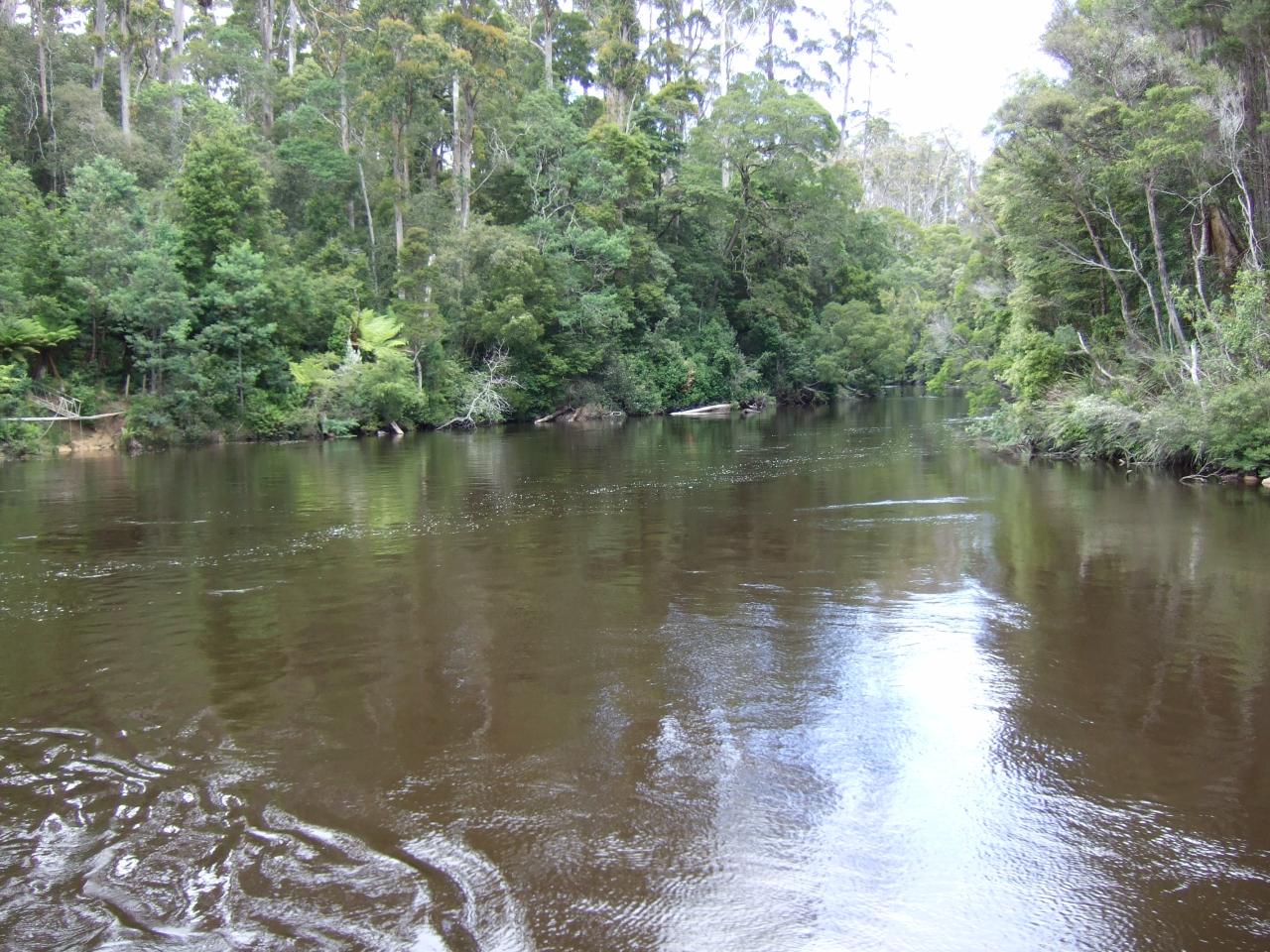
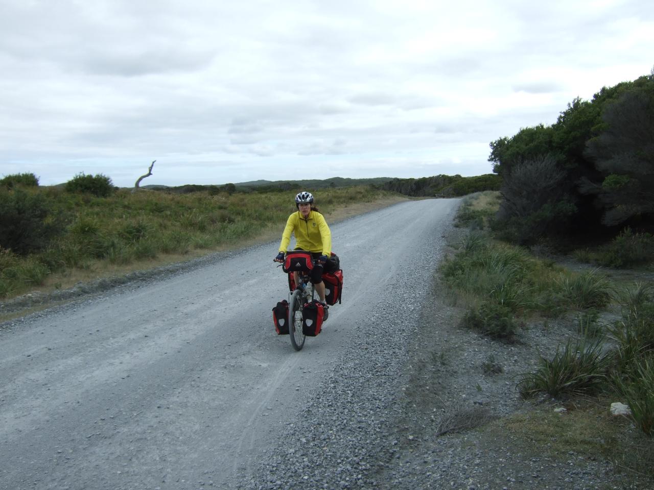
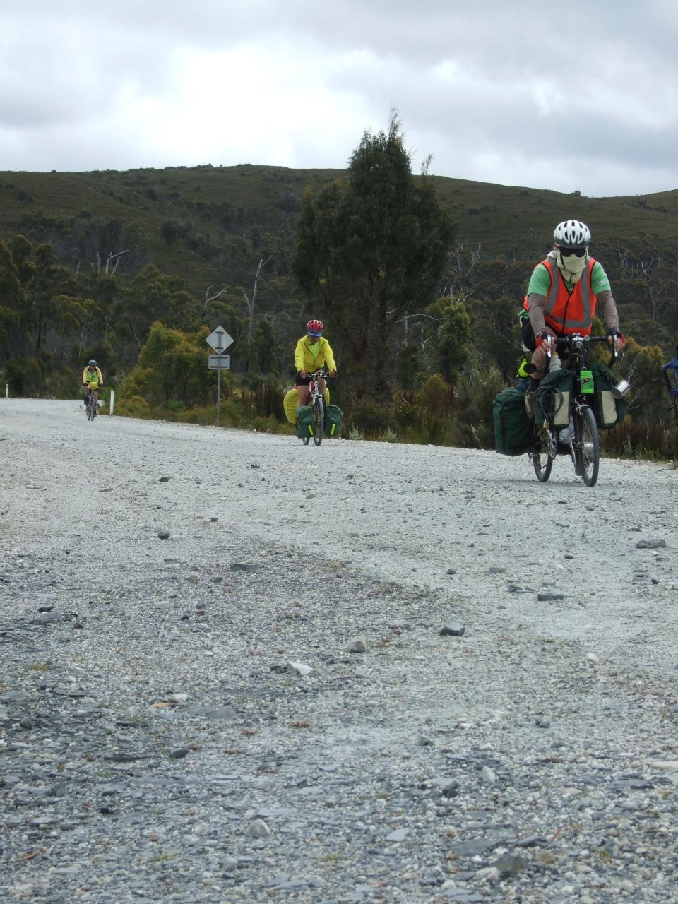
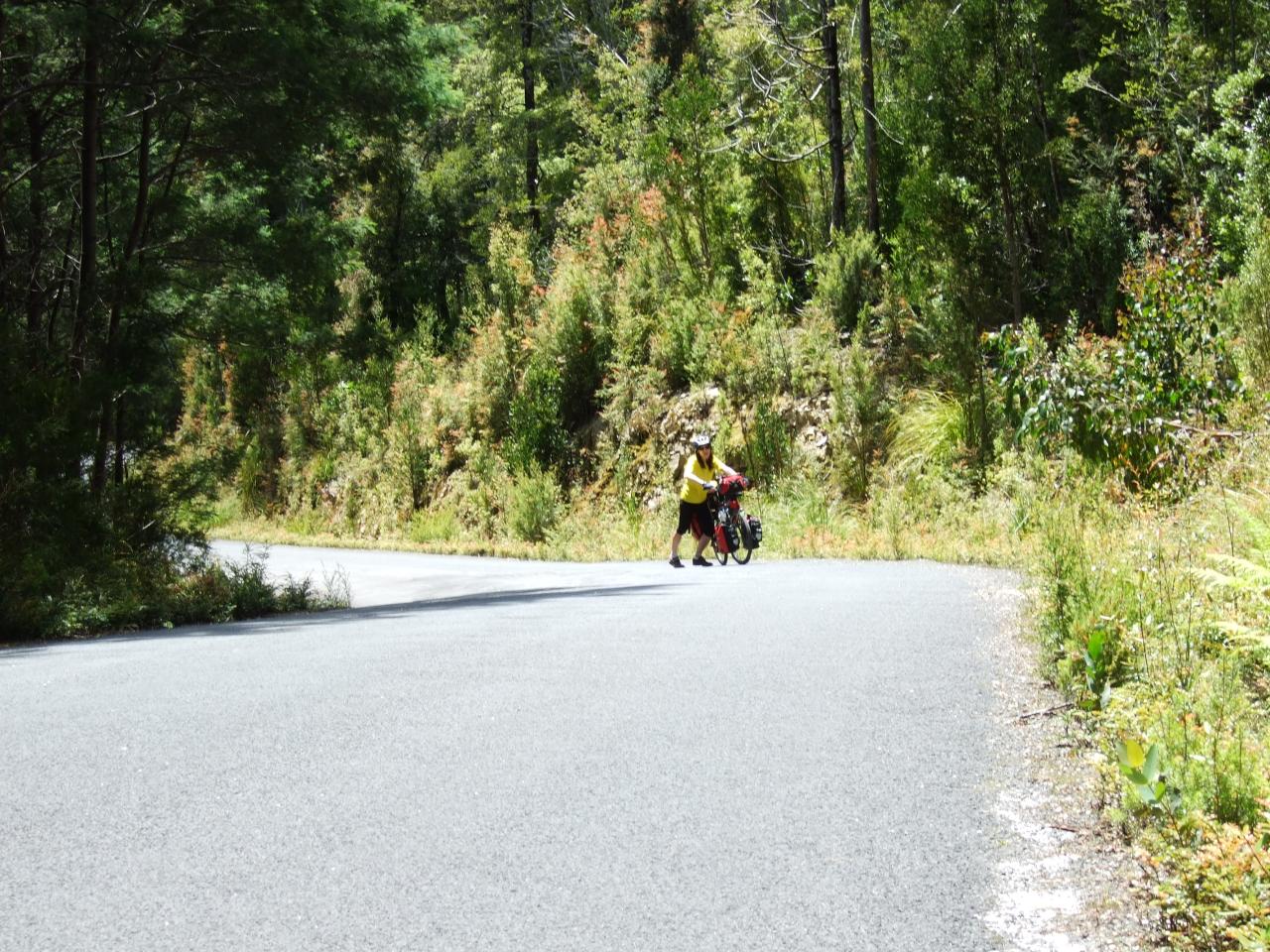
The first few days of the trip followed the north coast of Tasmania, heading from Devonport out to Stanley. The first day was quite long (about 70 km as I recall) to get to Wynyard, but relatively flat, except for getting out of Devonport.
After we left Wynyard we went up to Table cape, which is so named because it is flat on the top, but you have to cycle up a massive steep hill to get to the flat bit. It’s a nice view over the surrounding coastline though.
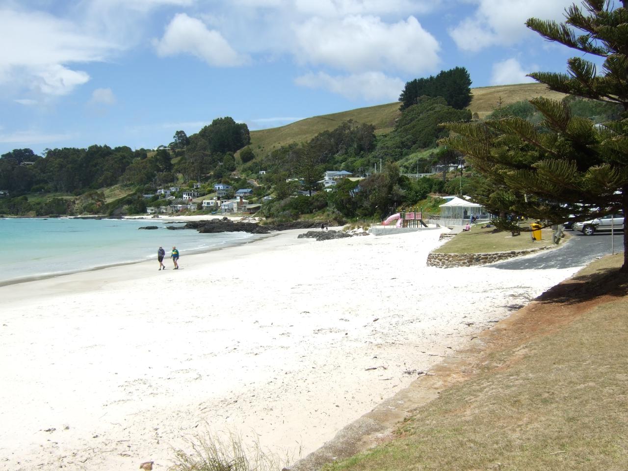
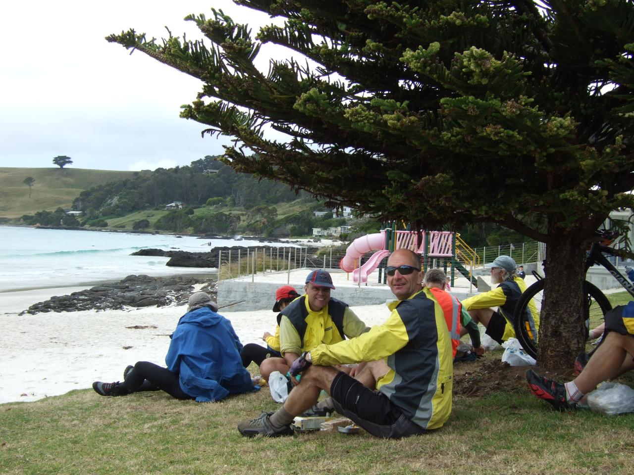
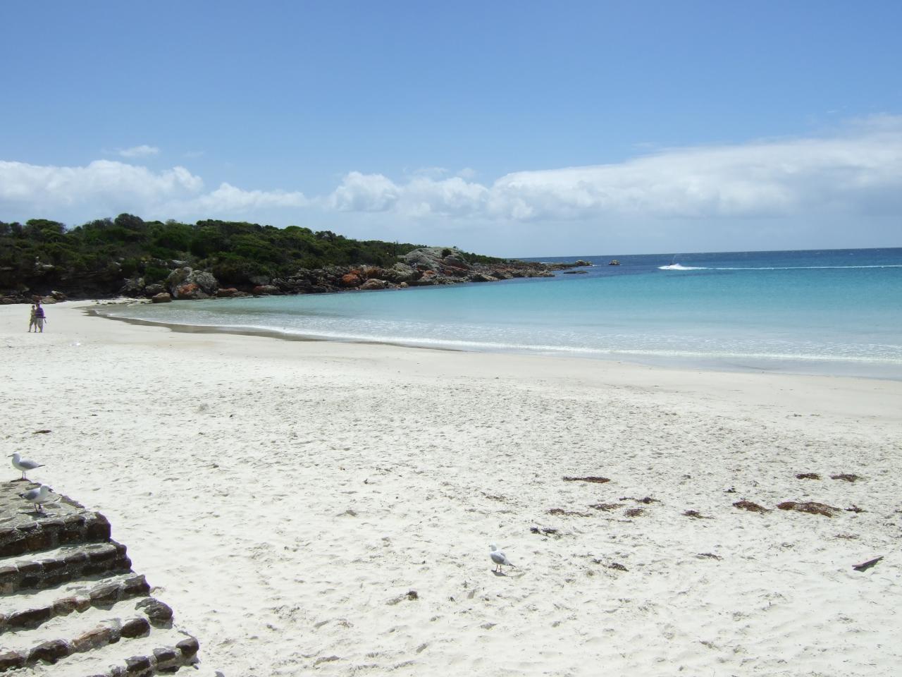
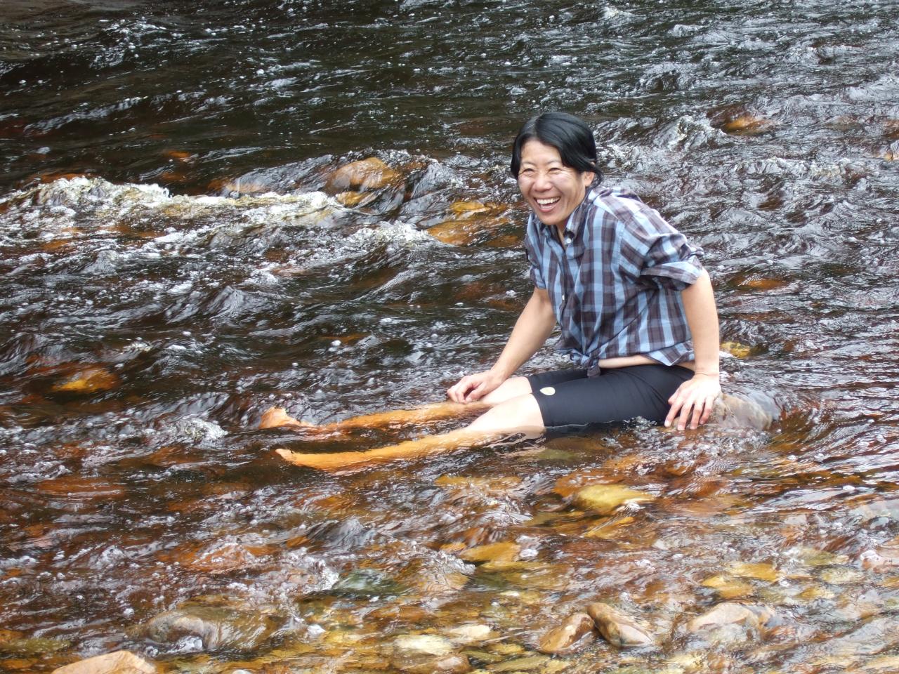
That day we had lunch at Boat Harbour Beach. To get to it we had to turn off from the route we would take to our camp site, and come back out the same way, but we figured it was only a few kilometers out of our way. The descent to get to the coast seemed to go on for ages and ages, although it was probably exaggerated by the fact that we knew we had to ride back up the hill after lunch (it actually wasn’t that bad climbing out, by the way). We did at least get a very pretty beach to look at while we had our picnic lunch, even though it was too frigid for swimming due to the south westerly wind, fresh from Antarctica. I think Michael Kater might have braved hypothermia and swam.
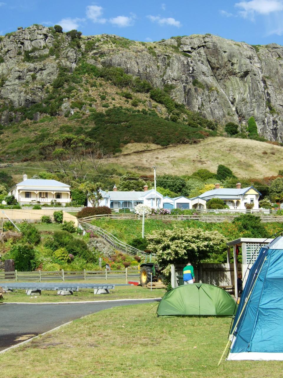
We camped overnight at a place called Crayfish creek, near an iron ore export terminal that Dave Cash memorably dubbed the “Satanic mill”. As I recall we also had some pretty serious rain overnight too, and I discovered that my tent was letting water in from somewhere (either the roof or the floor) because there was a little puddle down the end of the tent, and the underside of my thermarest was wet. The next day we got to Stanley around lunch time I believe, after half a day’s riding in alternately rain squalls and sunshine (but with a cold wind).
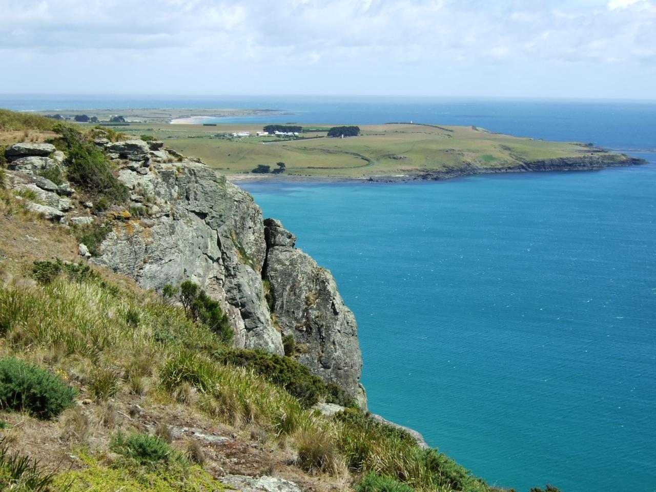
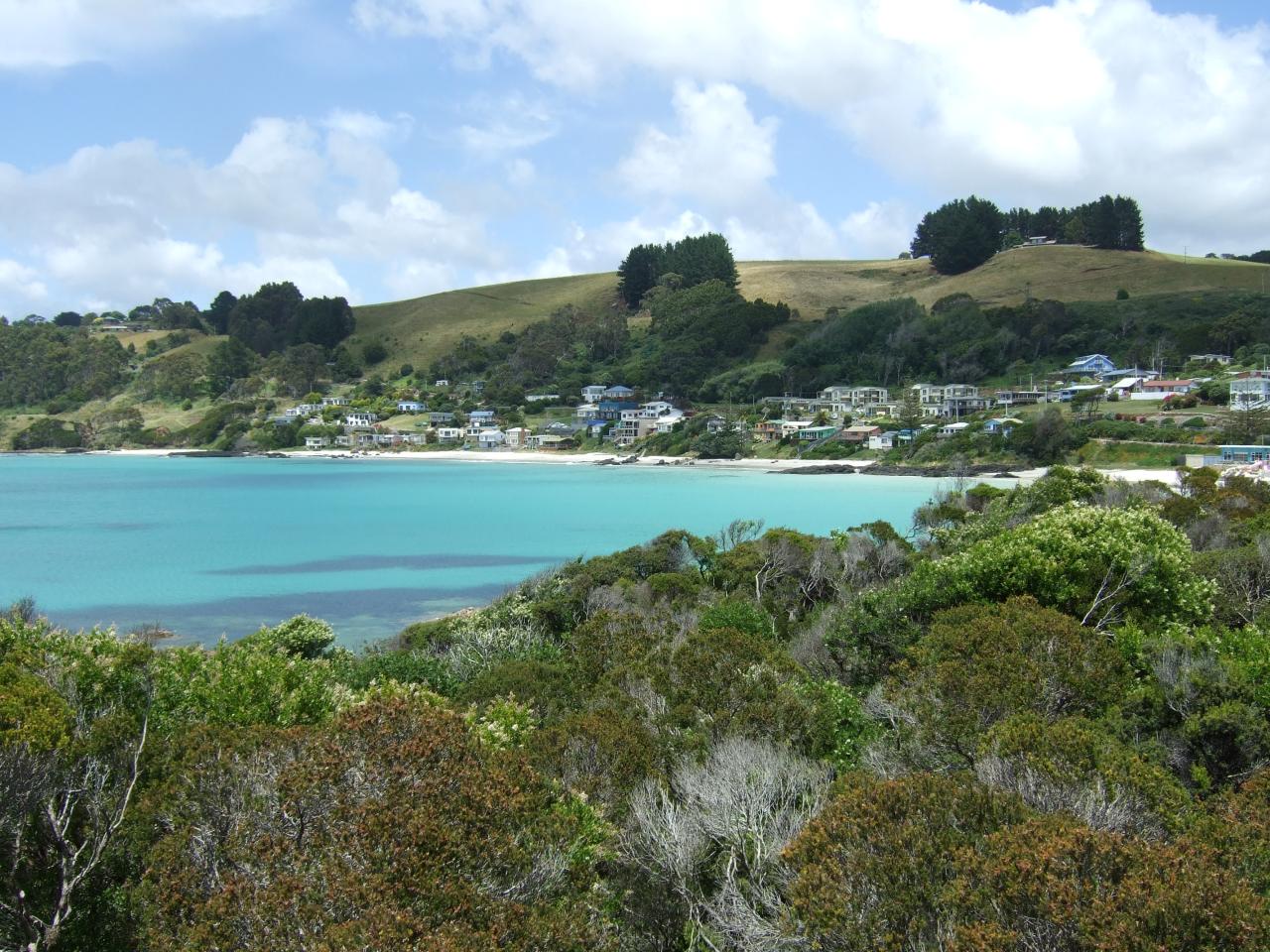
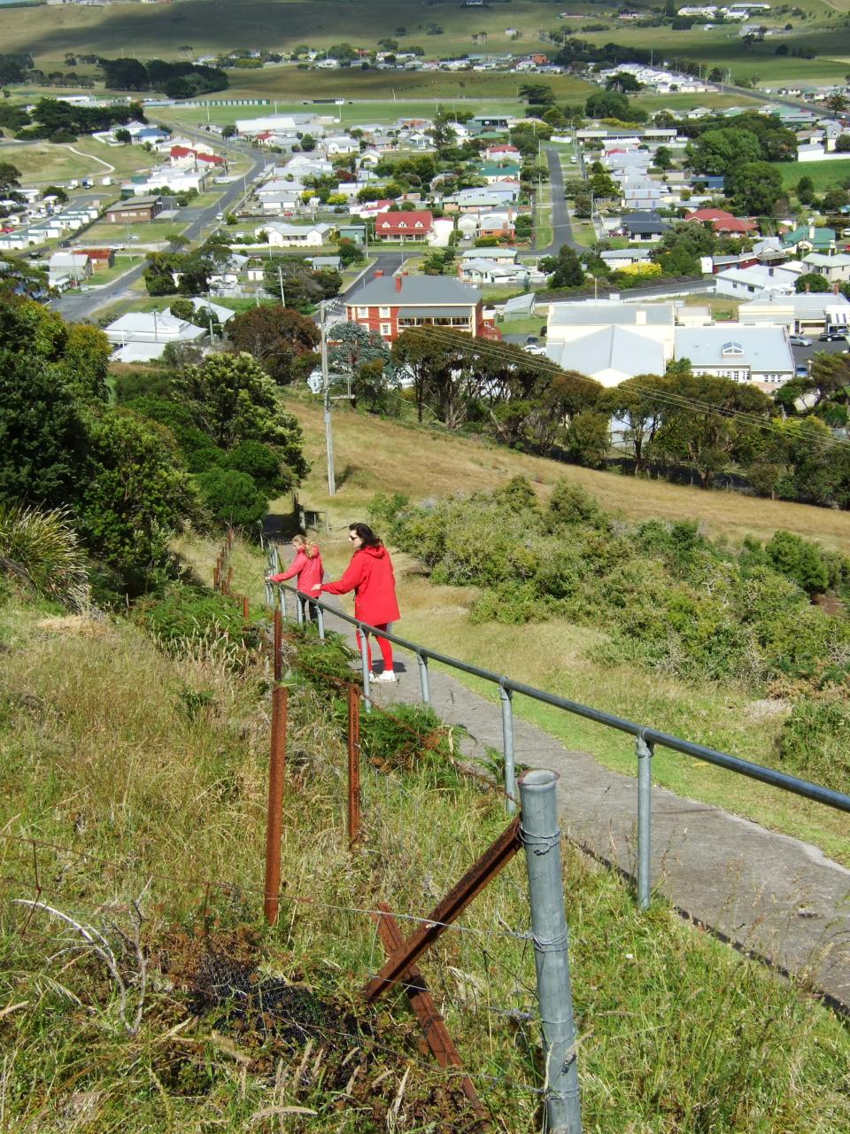
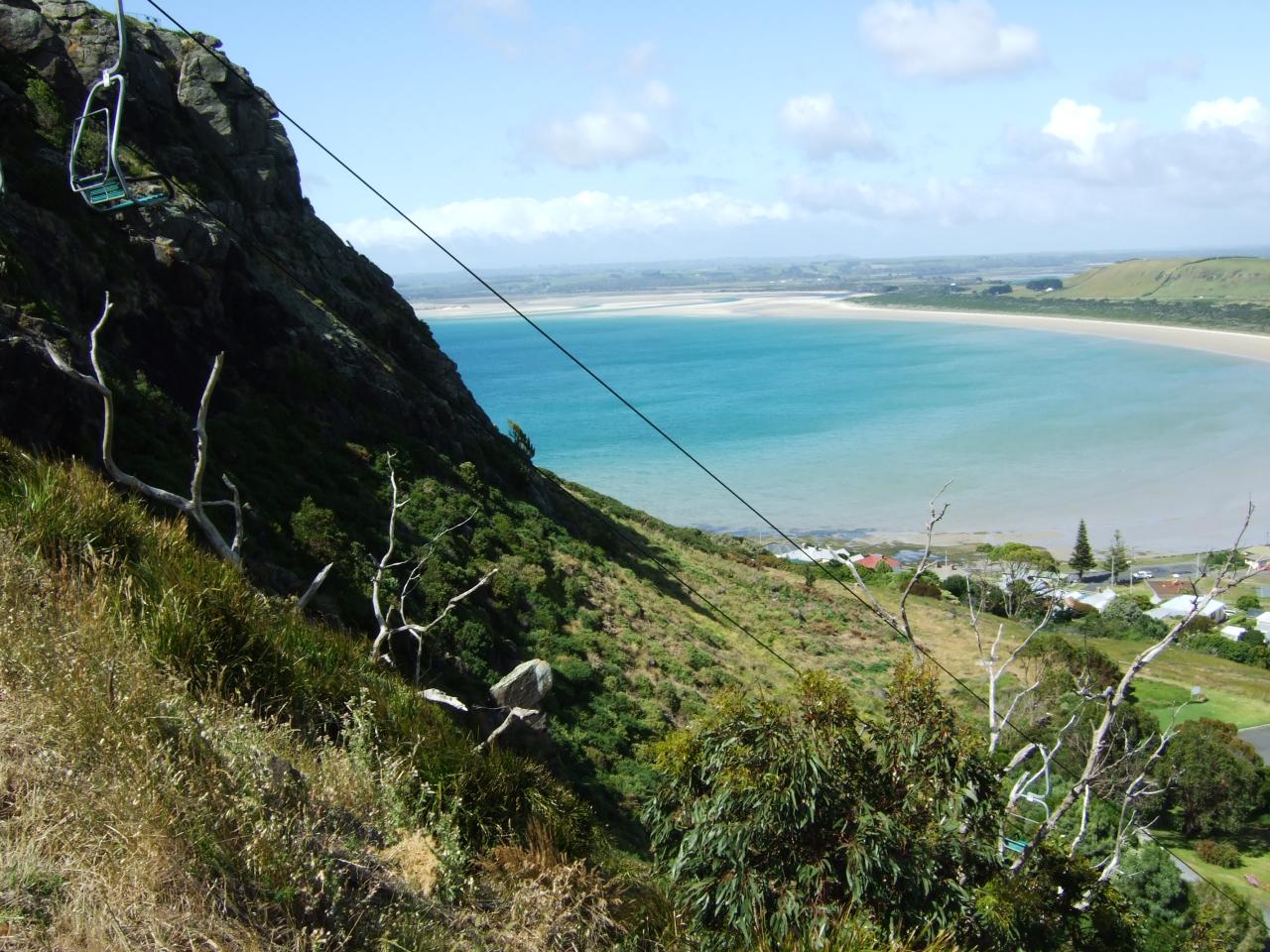
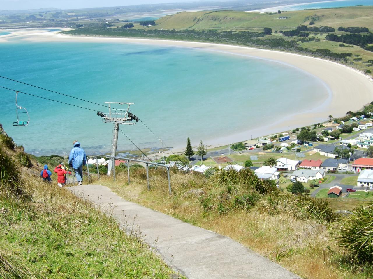
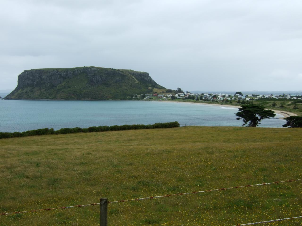
We spent the next day in Stanley as well, and climbed to the top of “The Nut” (aka Circular Head) which is a large flat topped headland. The top was quite bleak and windswept, so we were wearing all of our warm clothes. My sister was very indignant about taking the chairlift up to the top, but she was overruled by my parents and we walked up instead. There was some talk about taking the chairlift back down, but unfortunately they didn’t sell tickets at the top. Oh dear. I don’t remember now if my sister did eventually get to go on the chairlift.
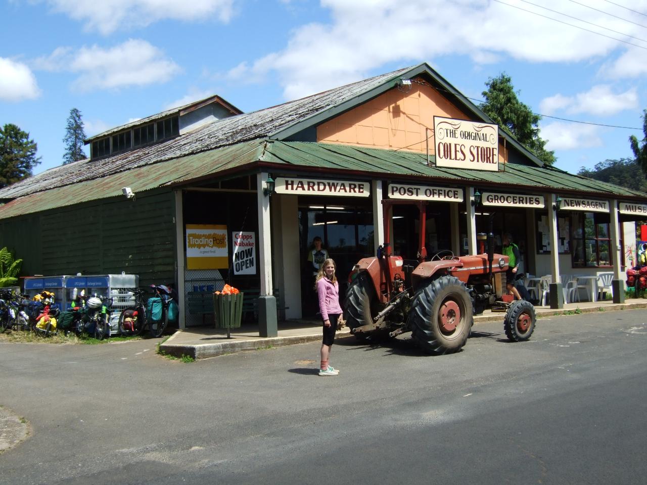
Leaving Stanley, we went via Smithton, where we had to buy supplies for the next few days, as there would be no shops from there until Zeehan. Then we cycled along a back road that avoided the main highway to get to Arthur River where we stayed the night. The back road was actually quite flat, so it would have been easy riding if it wasn’t for the ferocious headwind. It was also about 80 km or something, so we ended up arriving at Arthur river quite late, and feeling very tired.
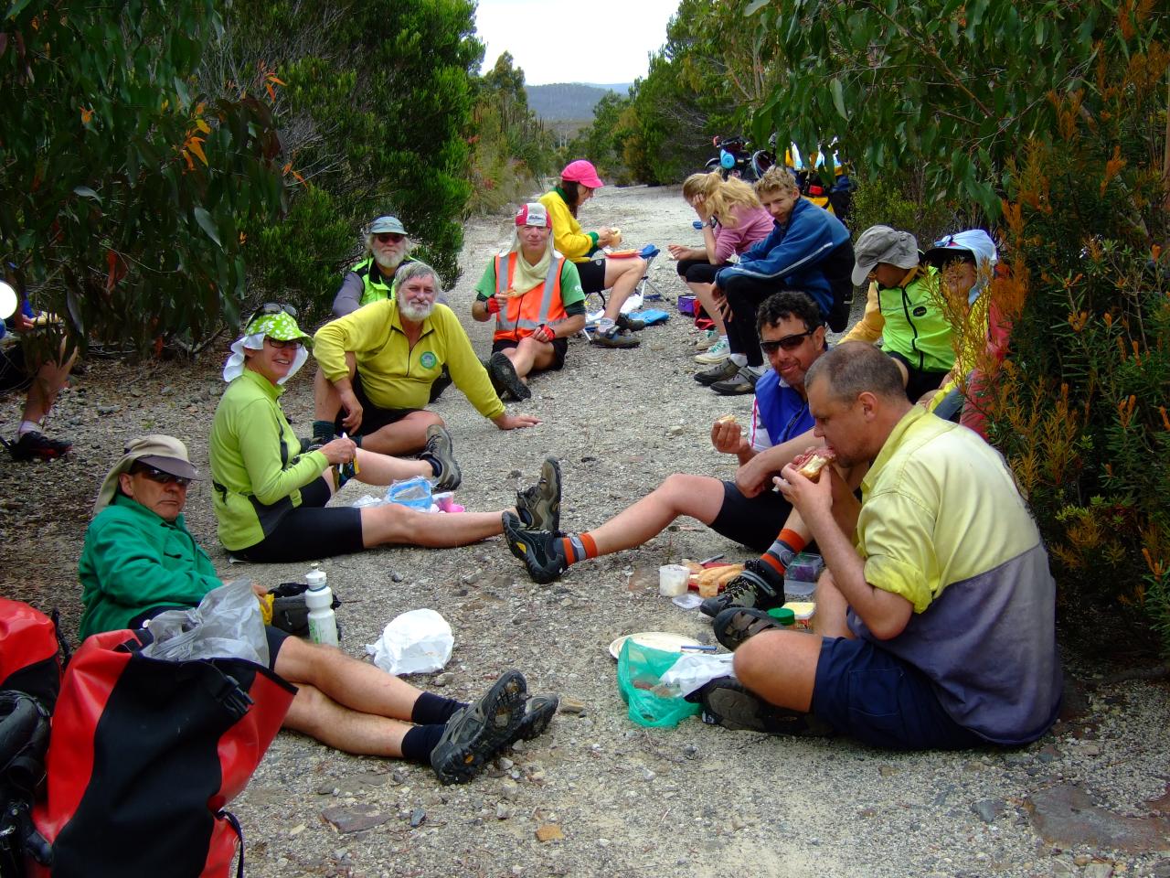
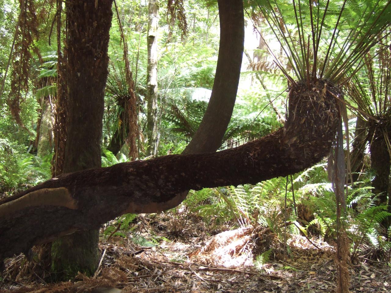
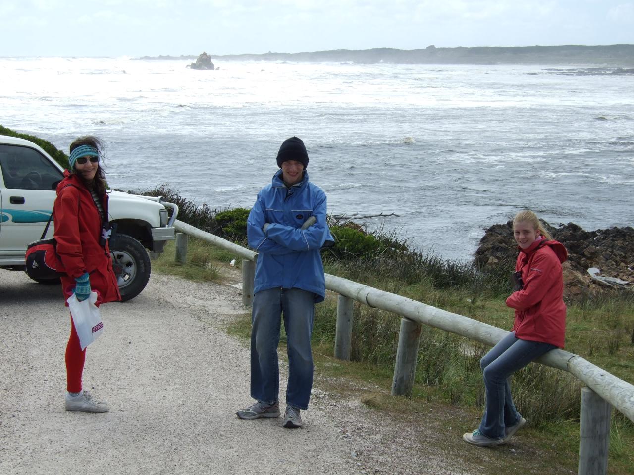
The following day was actually another rest day (yes, after just one day of riding), because we had found out about a boat cruise that went part way up the Arthur river. They also took us on a walk through the rainforest around a landing upstream, which was good. However, you will notice in all the photos that everyone is dressed in long sleeves, rugged up in our rain coats, warm hats, gloves, etc. due to the freezing cold wind. Shall we say, this is a little bit unusual for a cycling trip in the middle of summer.
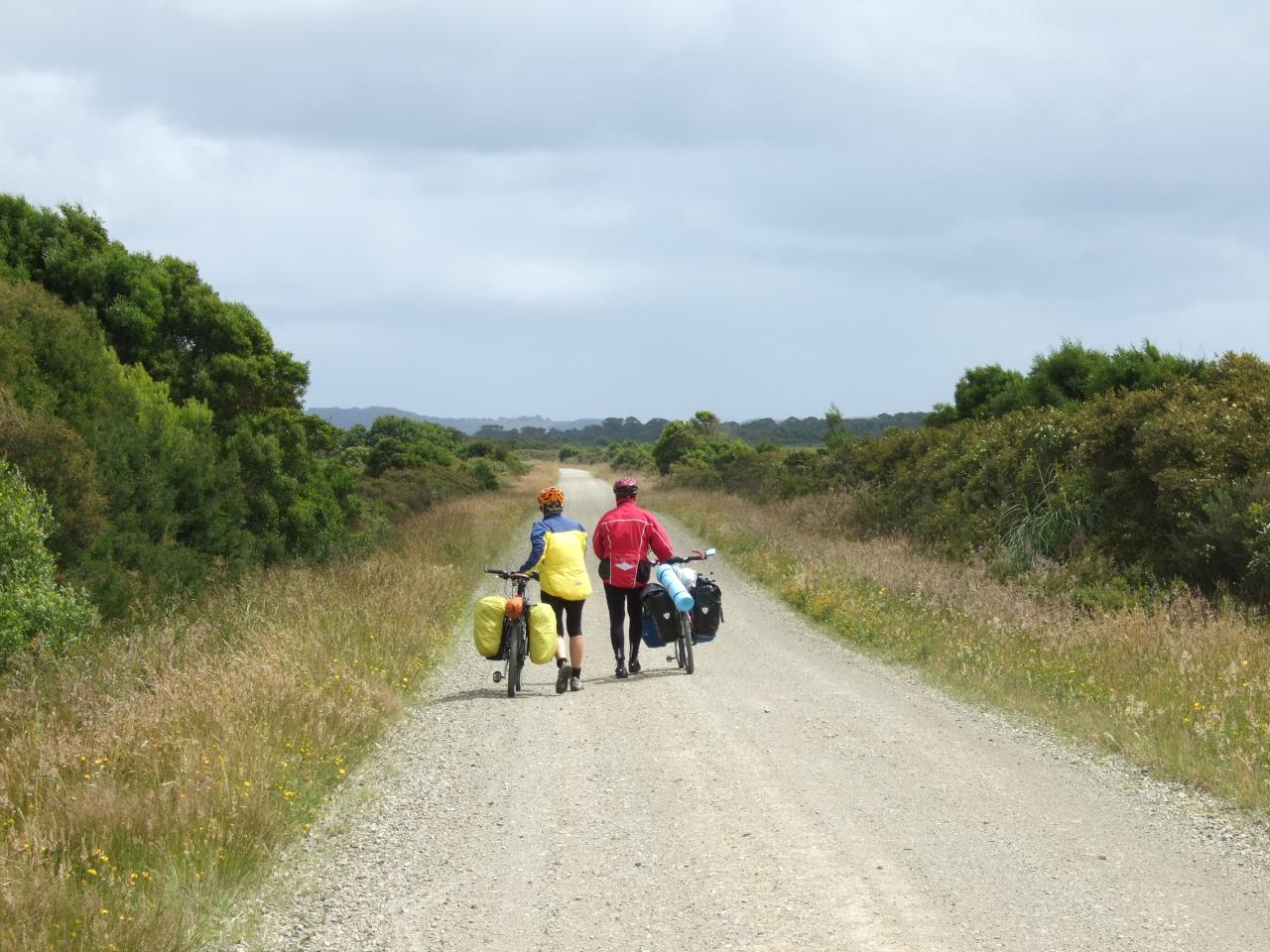
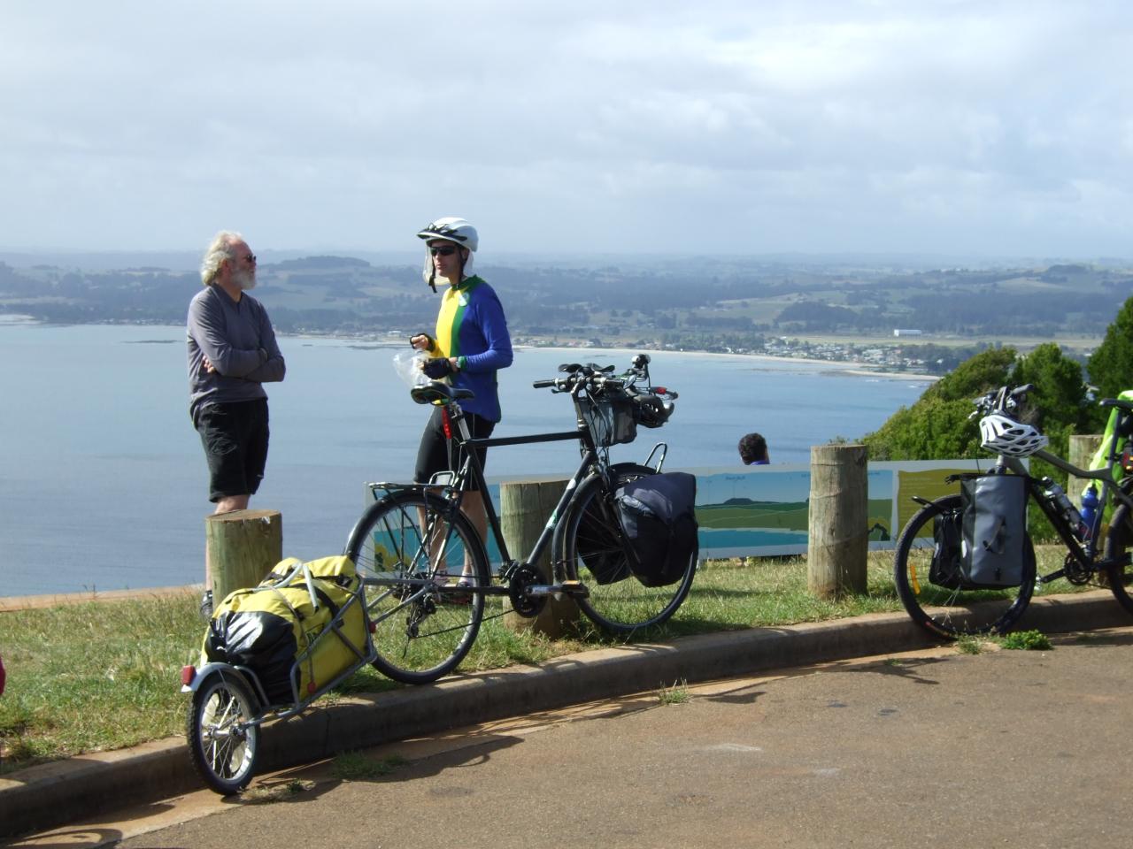
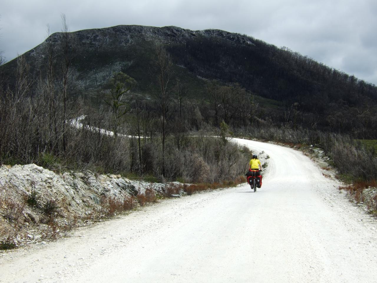
After Arthur river, we were planning to head south, taking two days to reach Corrinna (which is basically just a pub and a couple of houses, and a barge to get across the Pieman river). The route we planned was along the Western Explorer road, which none of us had ridden, so we didn’t really know what to expect. From the contour maps though we knew that it didn’t go over any massive big mountains (or so we thought, at least).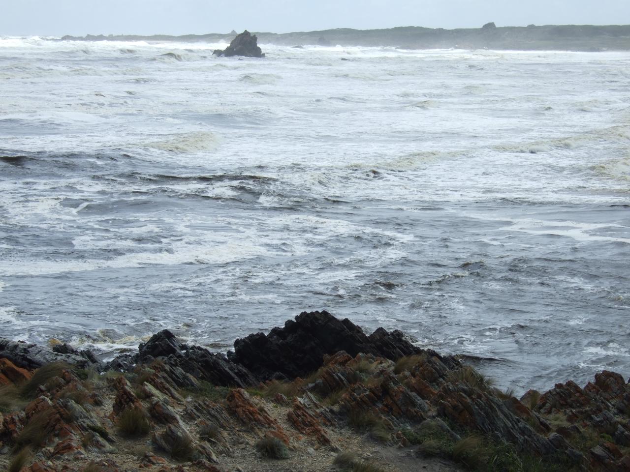
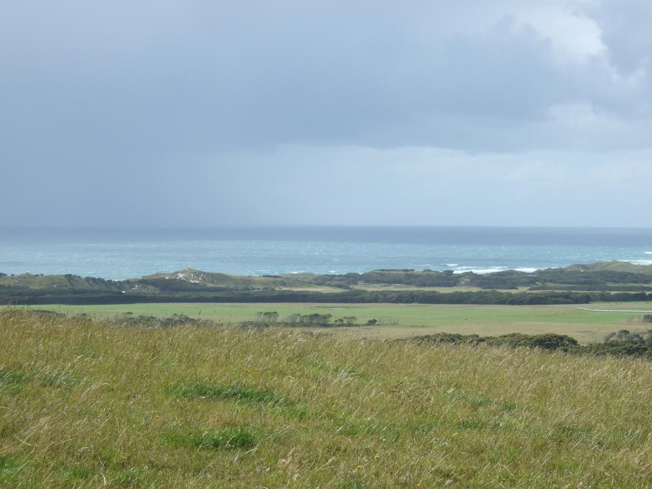
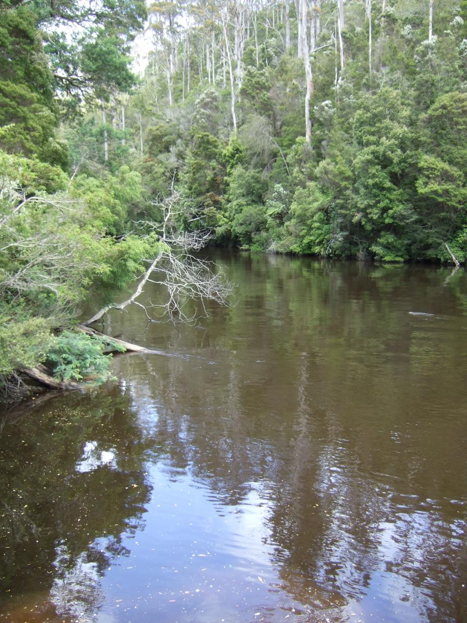
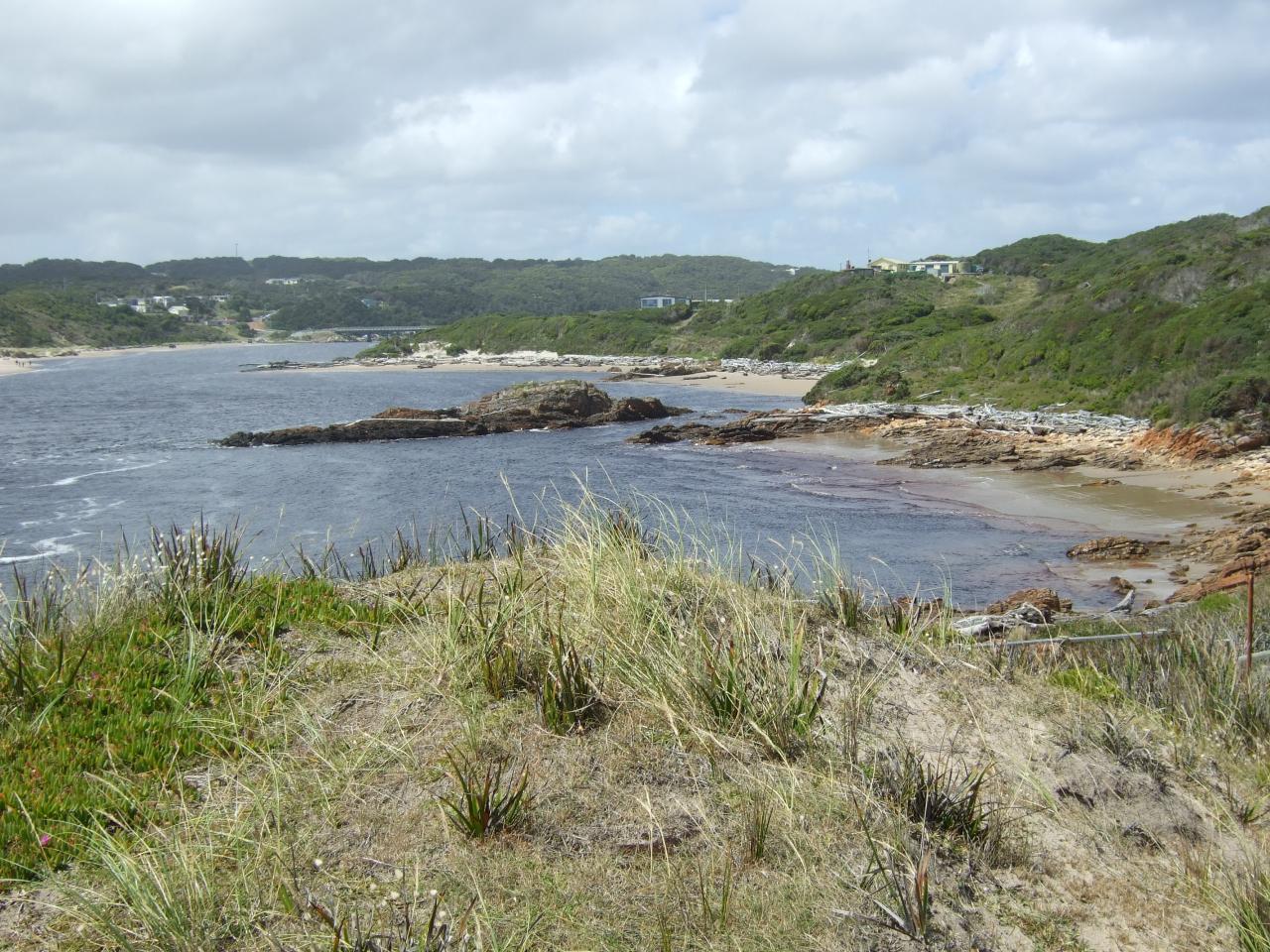
The first day out of Arthur river was very easy. We went to look at one of the beaches on our way; this section of coast is referred to as the “edge of the world”, because looking west, there is open ocean all the way to the east coast of Argentina, and as a result it is apparently good for surfing. We rode as far as Lindsay river, where we had planned to camp, and that section of the Western Explorer was mostly quite flat (nothing like the next day).
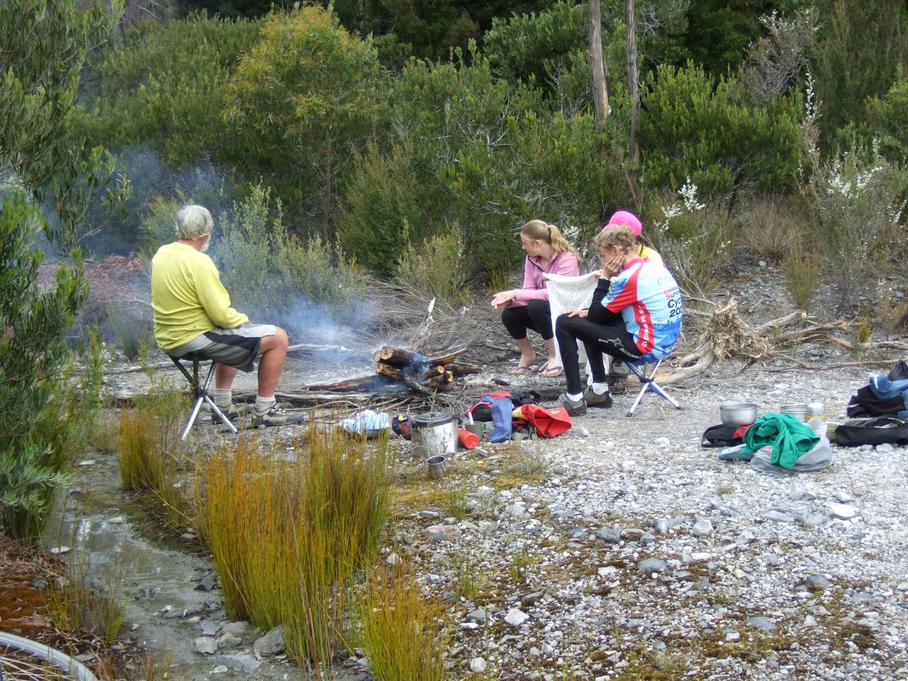
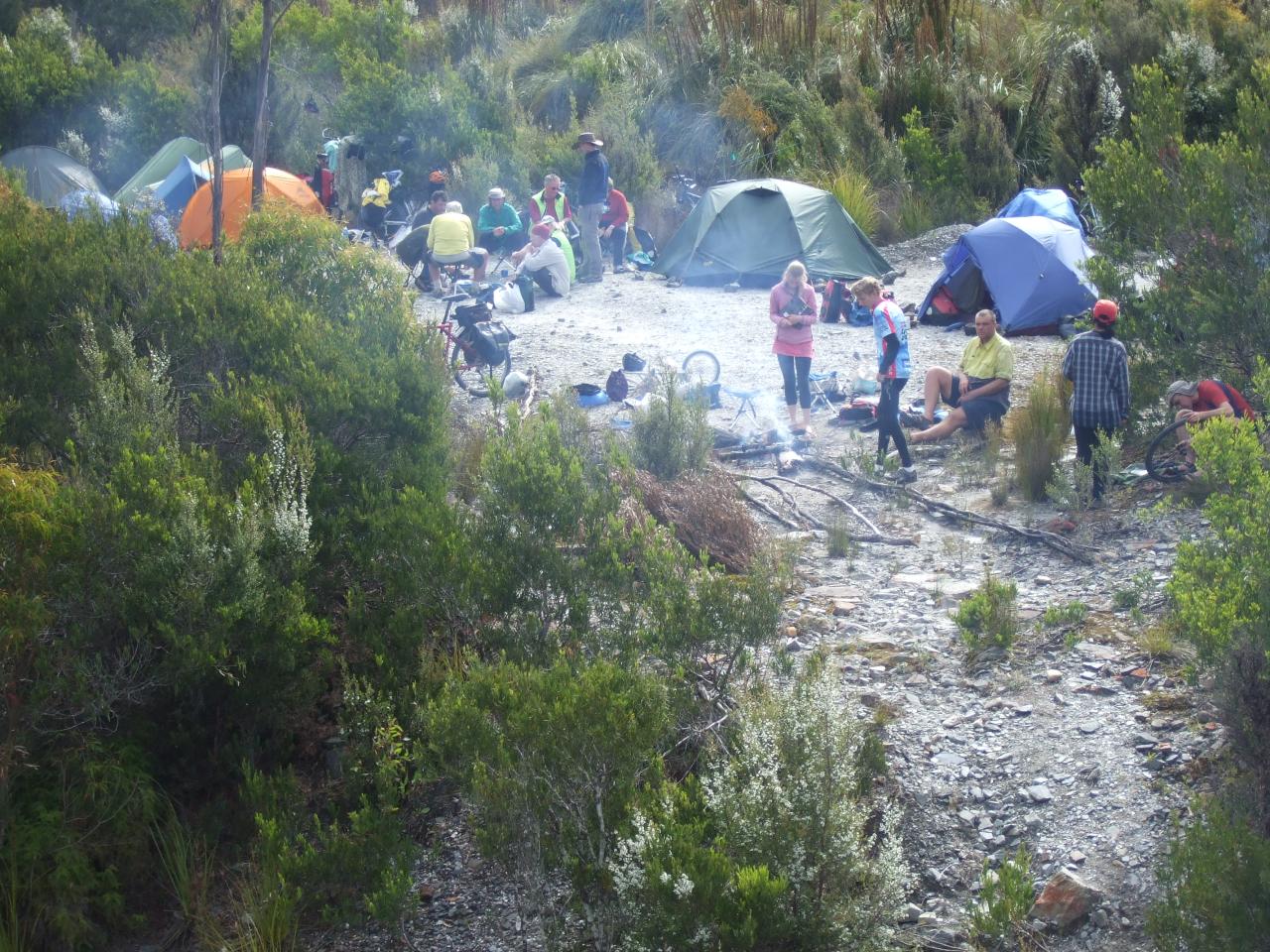
We were lucky to basically have the whole place to ourselves, as I recall, although there had been other people there before. Dave Cash made a rather gruesome discovery in the scrub nearby, where there was a small hill with numerous little tufts of white paper poking out of the ground. Unfortunately, this was situated upstream from the camping area, and, crucially, the most convenient place for us to collect water from the (otherwise pristine) river. At least the river had a good current flowing, so we were ok (I can’t remember if we treated the water or not; we probably did).
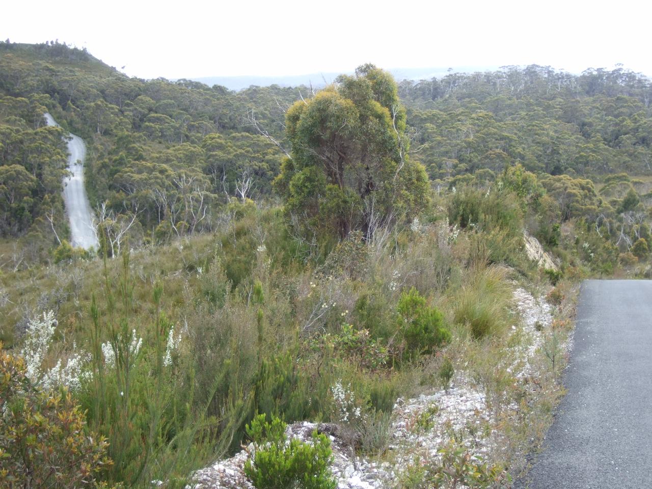
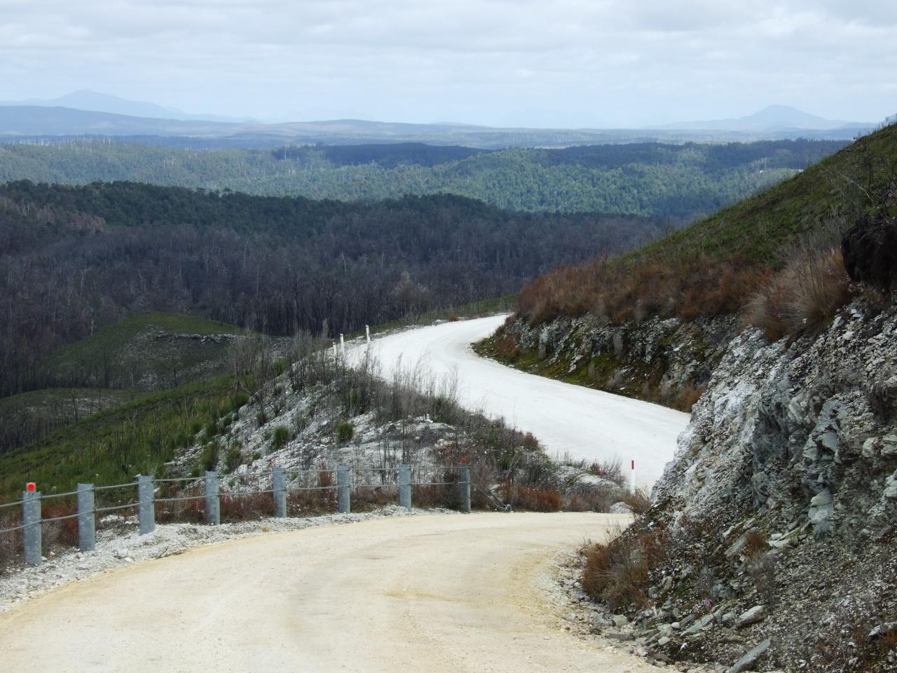
The following day, after we left Lindsay river, we soon came to a point where the road suddenly became bitumen. Then the road went around a corner and straight up this extraordinarily steep hill, although fortunately only a few hundred meters, then it flattened out. However, it continued on in this manner all the way through to the Savage river, just out of Corinna. Up a tremendously steep hill, flat for a bit, then down another tremendously steep hill. No massive climbs over mountain ranges fortunately, although some of the climbs (and descents too) went on for a kilometer or two.
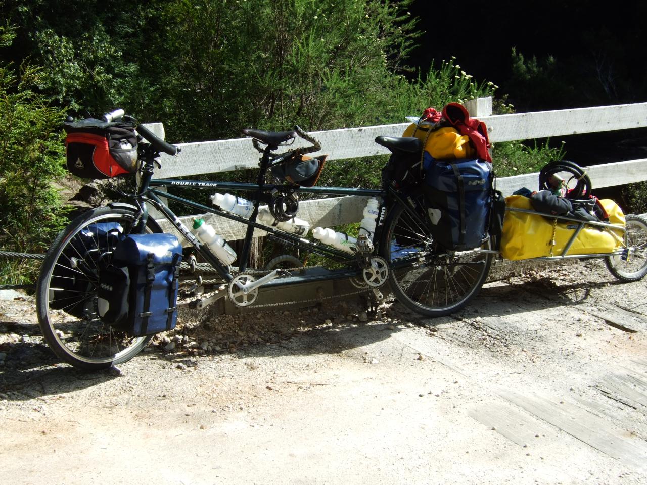
Despite that, I actually quite enjoyed it. Dad had a hard time though, he was riding the tandem with my sister, and not only was the tandem relatively heavy, and with an inadequate low gear, but it also had a problem due to incorrect brakes. For some reason, Dad had replaced the brake levers on the tandem, and had installed V-brake levers, but the mechanism was still cantilever brake arms. For those who aren’t familiar with this, V-brake levers (the hand operated lever that sits on the handlebar that is) have less leverage compared to levers for cantilever brakes. V-brakes have correspondingly more leverage in the mechanism that presses the pads against the rim, which balances it out. So, properly set up cantilever brakes (and especially the low profile variant, such as Dad had installed on the tandem) will provide adequate braking power, even for a tandem. However, if they’re set up with V-brake levers, they are not very enthusiastic about stopping. Dad has often recounted about when on the last descent to the Savage river (it was a 20% gradient for a good 2 km) he was able to hold the speed at 20 kph, with a white knuckle grip on both brake levers, and also the drum brake. However, he could not stop.
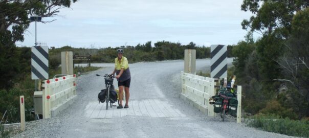
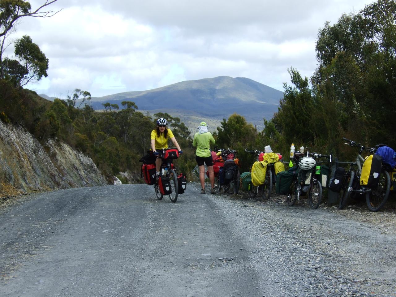
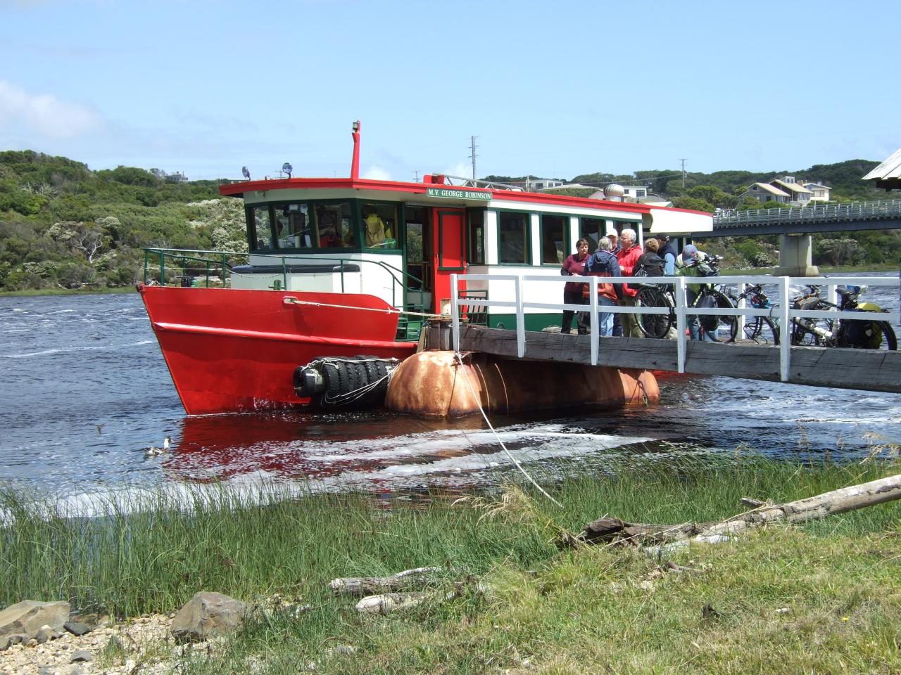
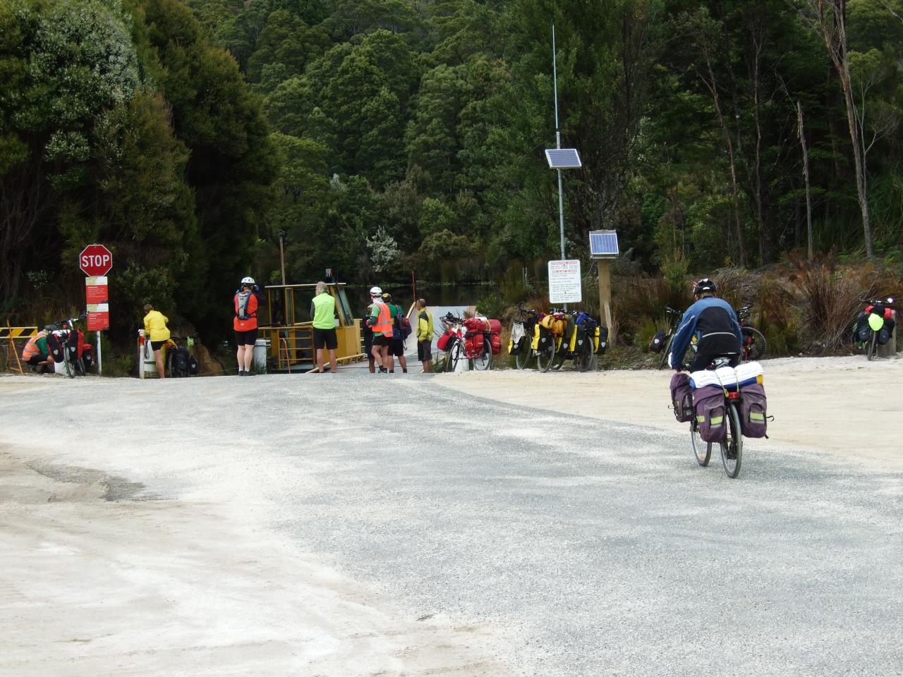
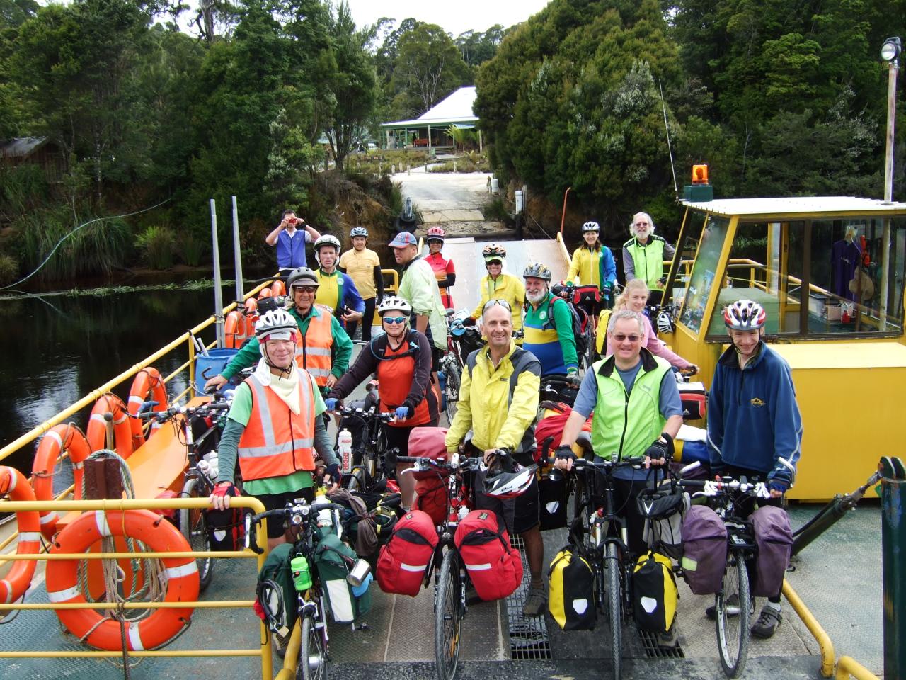
We had already arranged to camp at the hotel at Corrinna, and of course we also had dinner at the hotel. As I recall, there was plenty of food which we really appreciated. The next day we crossed the Pieman river via the ferry (a very small barge that winches it’s way across the river on a steel cable). It fits maybe two cars, but all 13 of us fit on together in one crossing. From there, we had an uneventful day to get to Zeehan, which was pretty much all sealed road after the climb out from the Pieman river. Of course, being Tasmania, it was not flat, but it also wasn’t very far (probably about 50 km) so we arrived early.
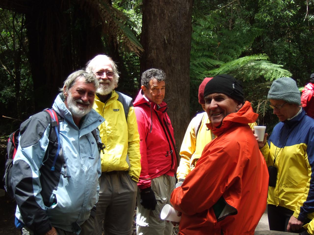
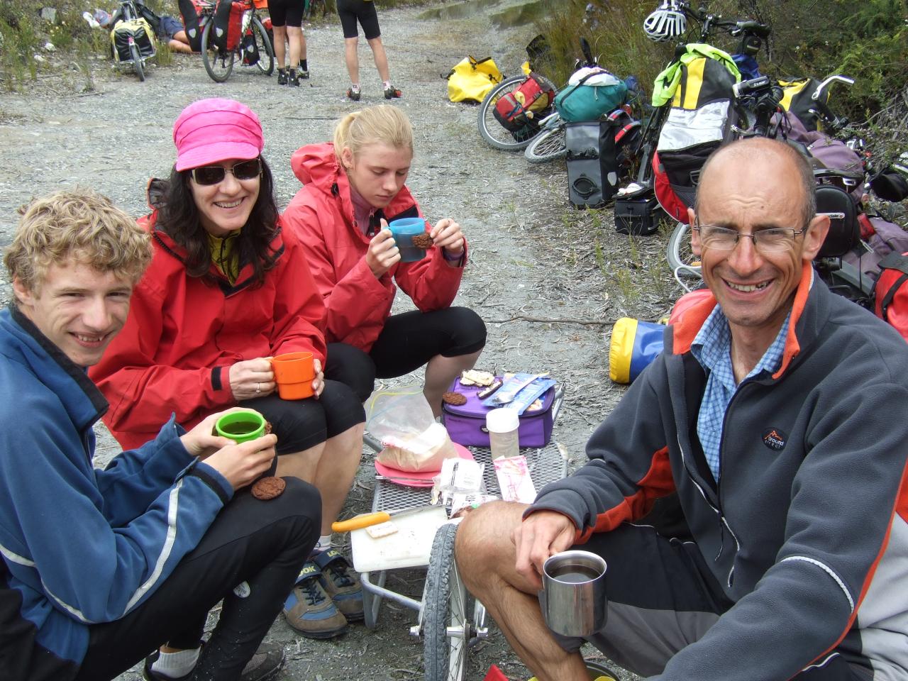
Leon, Susan Heath, Glenn, Rob Purse, Michael Kater, Margaret, Anna, me, Rob, Etsuko, Les Baxter, and Edmund.
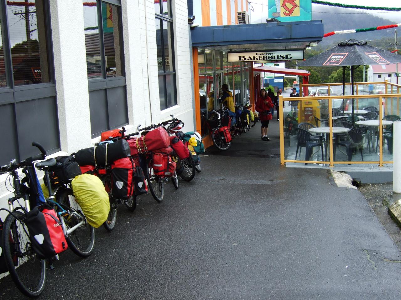
For the next day, our original plan was to go from Zeehan to Roseberry and Tullah, and then do a bush camp somewhere along the road between Tullah and Cradle Mountain. However, things did not go to plan. After we left Zeehan, the rain set in. I don’t remember it as being particularly heavy, but I do remember that by the time we got to Roseberry at lunch time we were all soaked, and we went straight to the warm bakery to try to dry ourselves out a bit.
Between Roseberry and Tullah, there is also a massive big hill, called Black Mountain I believe. Although it wasn’t as steep as other hills we had encountered, it was still hard work in the rain. Dad and my sister were particularly struggling with the tandem, and some kind person in a car offered them a lift to the top of the hill (they had a trailer behind the car that easily fit the tandem). Dad and Anna accepted the lift, and I think they met the rest of us at the top of the hill.
We whizzed down the other side (in pouring rain), and that pretty much took us into Tullah, which Dad expected to be just a dot on the map. However, we discovered that there was a cafe there, so we stopped there to warm up a bit. Then we found out that there was also accommodation there; the huts that had been set up there decades ago to house hydro construction workers had been restored as tourist accommodation. We had a brief debate, and considered the alternative, which was to keep going as planned (drenched as we were) and set up camp somewhere in the soggy bush off the road. So we stayed in the old hydro village.
There was a bit of a story from our stay there as well. You see, until that night, we had only been camping; we hadn’t stayed in shared accommodation so far on the trip. Thus it was that Geoff Sutter didn’t discover that his three other roommates snored until it was too late. I don’t remember exactly who Geoff was sharing with, but they each snored with their own particular pitch and tone, resulting in a cacophony that kept Geoff awake. Eventually, Geoff could endure it no more, and so he took his sleeping bag and mat and evacuated to the laundry room where he slept for the rest of the night.
Susan Heath, Helen Brunt, Geoff Sutter, and I think Michael Kater is in the distance.
The following day we cycled from Tullah across to Cradle Mountain. When we got there, we then had some shenanigans dealing with the caravan park (the only place where we could stay at Cradle Mountain, unless we went out along the road towards Devonport for miles). The story was that a couple of months earlier, Dad had contacted the caravan park to see if we could book in (since we had a group of 15 people or so), but they said no, there’s no need for us to make a booking, we could just turn up and there would be enough space. Unbeknownst to us, the caravan park had changed management, and the new owners insisted that people had to book in advance. At first they said that they were booked out and didn’t have anywhere we could camp, but we could see vacant sites all over the place. After some lengthy negotiations, it became clear that they were having difficulty adjusting to the computer system that managed their bookings, and they did find a couple of sites where we were able to camp for the two nights we’d planned to spend there.
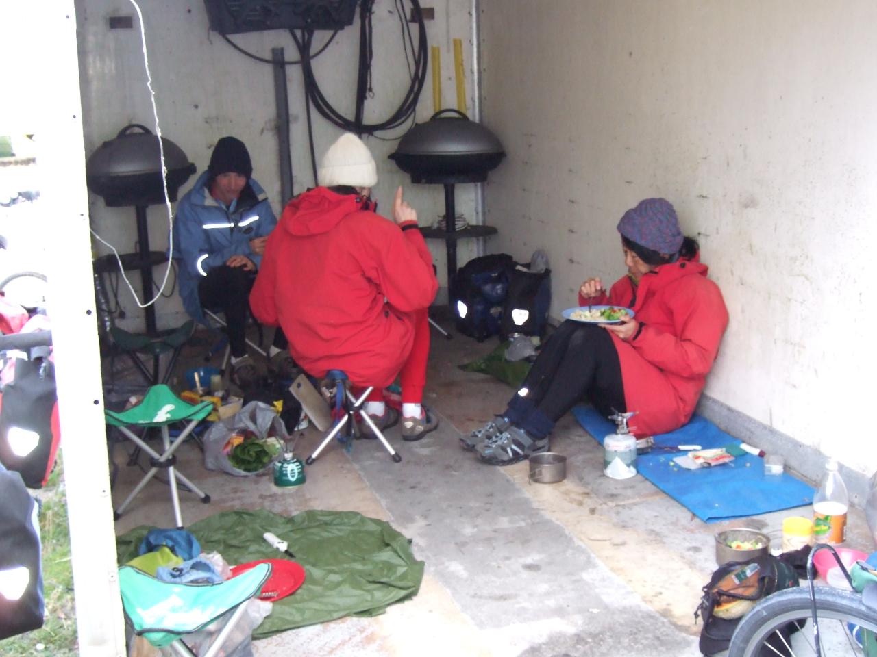
The following morning was quite memorable. We got up and went over to the nearby camp kitchen (which was very well set up too, with tables and benches all indoors) to shelter from the freezing cold conditions outside. Other people were also using the camp kitchen, and between us we got a fire going. Not only was the air temperature very cold, but the weather was bleak grey overcast, and steadily progressed from drizzle to rain, then light hail, sleet, and finally snow. The snow didn’t form drifts, it melted as soon as it hit the ground. We were glad to have the camp kitchen and spent most of the morning there, and went out to do the usual tourist stuff in the afternoon when the weather had cleared up.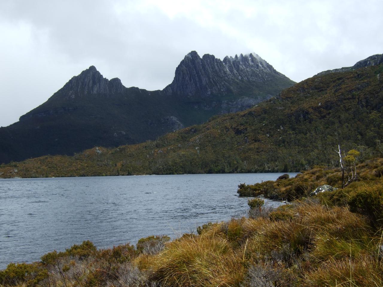
After that, we had a day of mostly down hill to get to the coast, and Devonport. Along the way, at Wilmot I believe, we found out from the locals that the previous couple of weeks had been a heatwave along the northern coast, where they had had temperatures up to 30C while we got the snow and sleet. It was interesting that there is such drastic variation in conditions over a small area, but evidently there was. And we certainly managed to avoid the typical hot summer weather that we would have expected in Victoria.
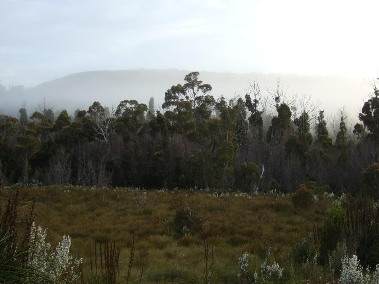
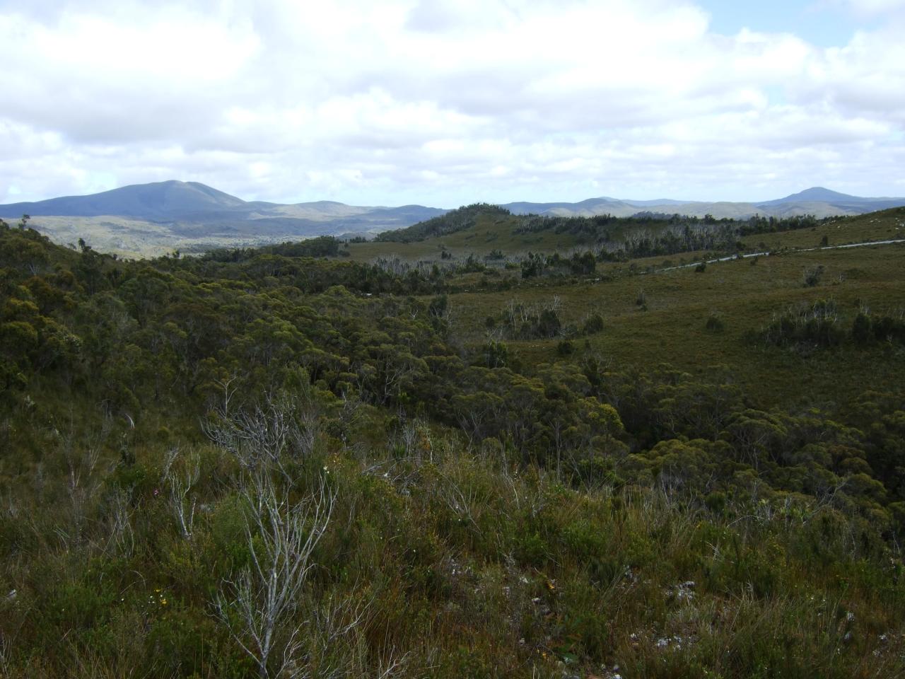
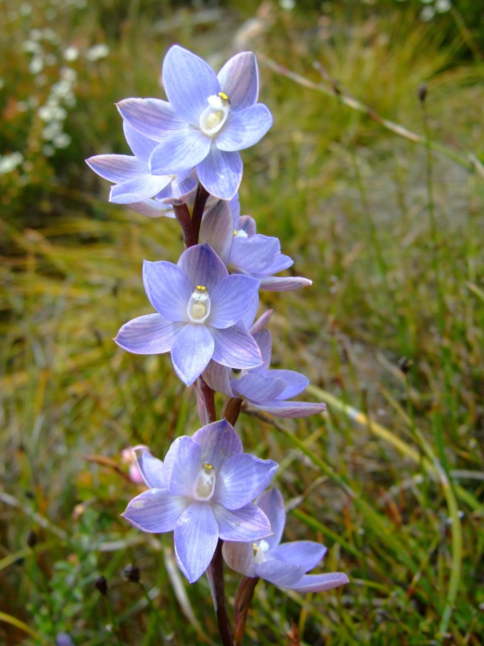
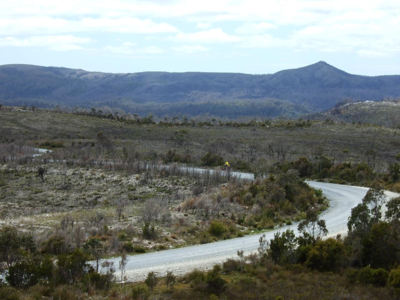
Photos
One response to “Summer 2008/09 – Edge of the World tour”
And for a slide-show view of this ride, go here:
https://www.youtube.com/watch?v=dZaKXd0msVk